A 3D Digital Platform
Over the last years the growth of offshore industries led to an increase in the exploration of deeper and more challenging subsea locations. This has created relevant challenges in all phases of Offshore Projects.
With these challenges in mind and a clear mission to improve efficiency and safety throughout the complete project lifecycle, Abyssal created a unique platform to integrate its several applications.
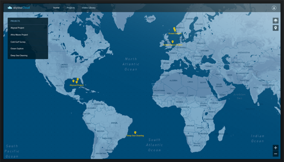
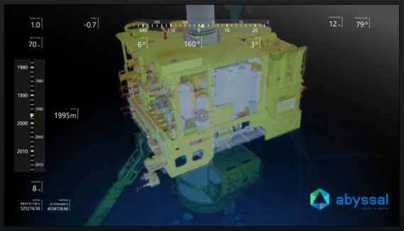
Abyssal Platform integrates a powerful 3D visualization environment, that incorporates a survey grade Geographic Information System (GIS) and is able to acquire, process and integrate data in real-time from multiple sources.
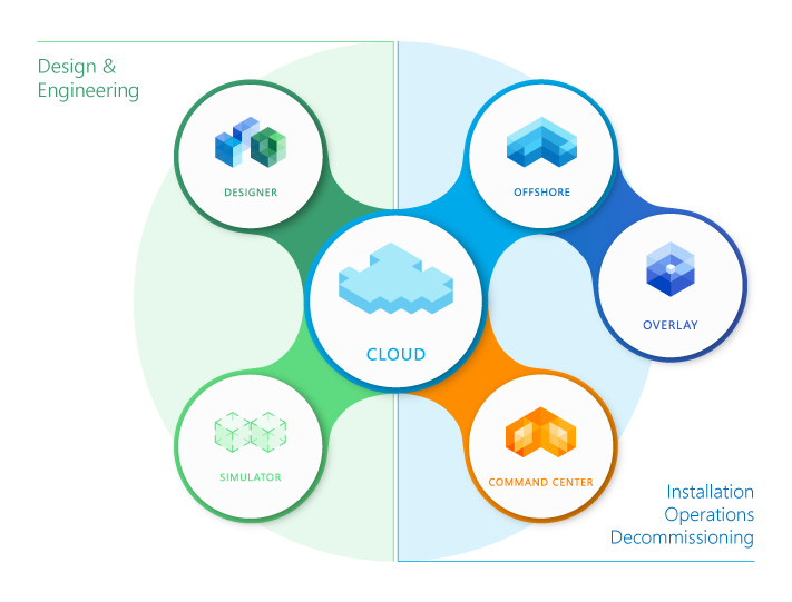
By adopting an innovative approach of integrating all relevant data that results from any phase of the project, time-stamped and geospatially-referenced (x,y,z) has paved the way to create this 3D asset centric platform that can be used in every project phase and in any location which translates any asset into a real 4 dimensional digital representation.
With an extremely intuitive 3D visualization and having all the information from different sources readily available and validated in one single ubiquitous source of truth, means that decisions can be taken in a highly effective collaborative way, achieving higher robustness levels. Inteligible information, with higher quality, delivered in a faster way, available anywhere makes it possible to create leaner and predictable processes.
Applications
OPERATIONAL APPLICATIONS
ROV
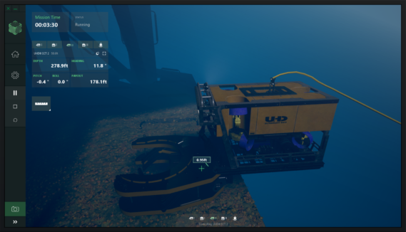
By resorting to 3D, VR and AR we increase Navigability, Visibility and Spatial Awareness in ROV operations leading to safer and more efficient subsea operations;
Supported in Abyssal Platform is possible to visualize in real-time every asset, moving structures, Vessels and ROVs allowing the execution of SIMOPS (Simultaneous Operations) in highly complex subsea environments, with fewer resources and increased safety;
Vessel & Crane
Being able to monitor every structure and equipment means that Offshore logistics can be executed faster and at lower risks. Being able to have a real-time 3D representation accessible anywhere drastically reduces the risk of accidents such as collisions, reducing injuries, fatalities and relevant material and economic burden.
AUVs & ASVs
With Abyssal Platform and Operational tools it is possible to have a clear and reliable common operating picture, reducing safety risks and increasing efficiency in complex Simultaneous Operations involving ROVs, AUVs and ASVs.
INDUSTRY APPLICATIONS
Oil & Gas
Provide tools to allow remote management of assets and operations by assuring a full collaborative way that is understandable to any stakeholder.
Provide efficiency and safety to subsea operations reducing operational costs.
Marine Renewables
Provide tools to integrate and deliver real-time and high-quality information on seabed roughness, wave surface elevations, tidal currents, eddies, and turbulence at sites, increasing safety in construction and maintenance operations;
Provide tools to simulate and monitor environmental impact.
Seabed Mining
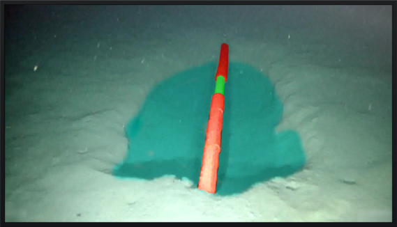
Provide tools for Environmental monitoring and inspection allowing operators to meet regulatory compliance.
Aquaculture & Fishing
Assure complementarity with other uses of marine environment (spatial planning, environmental constrains, fish species, etc);
Monitor fish stocks.
Marine Research
Provide monitoring systems that cope with customized sensors and datasets, High Definition Video systems able to integrate specific scientific dive logs and data storage tools that cope with long missions

